
Elmwood Park ZIP Coverage
Official sources located one ZIP serving incorporated Elmwood Park. The Village Comprehensive Plan states that 60707 also covers parts of Chicago and River Grove. That shared postal geography is the key fact behind the Elmwood Park ZIP code directory. It prevents a postal match from being mistaken for proof of Village residence.
| ZIP | Areas covered | Postal check | Boundary note |
|---|---|---|---|
| 60707 | Elmwood Park and portions of Chicago and River Grove | USPS address verification | Crosses municipal limits |
No separate unique, alternate or PO-box-only ZIP for incorporated Elmwood Park was found in the official sources. The ZIP coverage table therefore has one row by design. It should not be expanded with nearby codes that were not documented as serving the Village.
Verify Elmwood Park Postal Labels
The USPS ZIP Code Lookup has three useful modes. Search by street address, search by city and state, or enter a ZIP to find associated city labels. An address query requires the street address and accepts an apartment or suite. USPS may standardize the text and may return more than one match.
| USPS mode | Fields and purpose |
|---|---|
| Find by address | Company optional; street required; unit optional; city, state and optional ZIP. |
| Find by city/state | City and state return the assigned ZIP information. |
| Find cities by ZIP | A ZIP input returns recognized city labels. |
A USPS result confirms postal assignment, not a particular person, owner or municipal boundary. Keep the standardized output, including direction, suffix and unit, because those details improve the next search in Cook County systems.
The USPS Address Information System also distinguishes the delivery label from county geography. Its monthly database includes address, city and state, county, delivery statistics and ZIP+4 data. That cadence can make a postal form look newer than a county parcel page, yet neither source replaces the other. When an Elmwood Park address is rejected, test the source spelling before changing the municipality. A missing direction, unit, or street type may be the problem. If USPS recognizes a Chicago or River Grove city label for 60707, retain that output and use GIS to decide whether the point falls within Elmwood Park.
Search Elmwood Park by ZIP
No official source offers a public roster of everyone in 60707. The ZIP code directory is a narrowing tool. It can reduce address ambiguity before the query moves into the parcel, map or name-specific system that actually keeps the record.
- Verify the full address and postal label through USPS. Save the standardized street spelling and unit.
- Check whether the point is inside Elmwood Park with Village or Cook County geography. Do not rely on the 60707 label alone.
- Use the Cook County property portal with city and address; ZIP is an optional filter. Save the PIN and situs address.
- Open the parcel or address in CookViewer. Compare the parcel shape with the ZIP and municipal layers.
- Use a person-specific roll only when the required identity facts are known. Once the result narrows to a street, follow the Elmwood Park street directory workflow.
A tax mailing address can fall outside the parcel's physical location. Keep it in a separate field. Likewise, a voter lookup uses ZIP as one private matching input with first name, last name and birth date. It does not permit a browse of all voters in the postal area.
The Cook property portal requires a city in its address search and treats ZIP as optional. That design matters for 60707 because a ZIP-only assumption would mix three municipalities. Start with the standardized street address, select the city shown by the source, and inspect the returned parcel. Save the 14-digit PIN, legal description and situs label. If the tax mailing address differs, record it as bill-delivery data, not as proof that the owner occupies that place. The Assessor's owner search and the recording index have different update cycles, so compare dates before treating two names as conflicting.
Map Elmwood Park ZIP Geography
Cook County publishes an address and ZIP GIS service with address points and ZIP boundary data. It supplies geography, not owner or resident names. Pair it with the parcel layer or Assessor record when the question concerns a specific Elmwood Park property.
The captured service page below is the official source assigned to the Elmwood Park ZIP code directory.
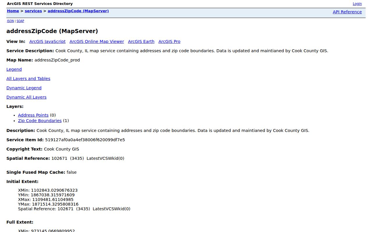
Use the ZIP polygon to see postal extent, then use a parcel point or PIN to resolve the property. A polygon crossing a city line does not move the municipal boundary.
CookViewer itself accepts several property keys: a 10-digit or 14-digit PIN, a dashed PIN, a property address, an intersection, or a map click. Once the correct parcel is selected, its shape and adjacent parcels can be compared with the separate ZIP layer. Nearby Search and Compare are useful checks in this compact area, but a highlighted map feature is not ownership evidence. Open the Assessor or property detail record for the named tax connection. For a formal land question, preserve the legal description because ZIP boundaries and street labels do not define a parcel.
Elmwood Park ZIP Address Keys
Five identifiers may appear beside the same Elmwood Park property, yet each means something different. Confusing them is the main cause of false ZIP-based matches. The Village, county and postal service use the key that fits their own task.
- ZIP and ZIP+4
- A ZIP is a delivery area. ZIP+4 narrows a delivery segment or destination within it.
- PO-box ZIP
- A code assigned to post-office boxes. No separate one was located for incorporated Elmwood Park.
- Unique ZIP
- A code assigned to one high-volume organization. None was located for the Village.
- Carrier route
- A delivery sequence within postal geography, not a municipal district or parcel.
- PIN
- The Cook County parcel identification number used for property and tax records.
A situs address is the parcel's physical place. A tax mailing address is where the bill is sent. The legal description identifies land by subdivision, block, lot and related survey terms. ZIP code 60707 identifies none of those by itself.
Elmwood Park records also preserve local street forms that should not be flattened. Sources use West Grand Avenue, Harlem Avenue, North Avenue, Belmont Avenue, Fullerton Avenue, and numbered roads from N 72nd through N 78th with street, court and avenue endings. The inspected Assessor example uses 1719 N 78TH AVE with 60707 and a Cook County PIN. That combination shows why the ZIP code directory is only one layer: the same row can contain a postal code, Village name, Leyden Township, tax district and parcel class, each serving a different records system.
Elmwood Park ZIP Data Updates
The USPS Address Information System Viewer describes a monthly ZIP database with address, city and state, county, delivery statistics and ZIP+4 material. The viewer is designed for address-quality work. Its data is encrypted and cannot be exported from that interface.
The assigned capture shows the USPS source used to check how postal data is maintained for an Elmwood Park ZIP code lookup.
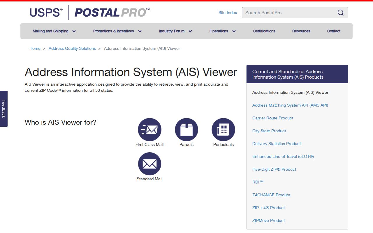
Monthly postal maintenance does not update a deed, tax card or voter roll. Each keeper has a different schedule, so record dates must be saved with the result.
Elmwood Park ZIP History Limits
No official Elmwood Park ZIP split, realignment or boundary-change year was located. Do not invent one. Historical sources may use Mont Clare, Westwood or Chicago-area labels, but those names do not establish a modern postal change. Newberry's 1927 to 1928 directory run, for example, uses a combined Elmwood Park and Mont Clare context from before today's ZIP system.
Older street evidence can still help with family history. Preserve the source label and year, then bridge it to a modern PIN or legal description. Chicago's 1909 street-number standardization is a Chicago clue only and must not be applied as an Elmwood Park renumbering rule.
A reliable historical bridge moves from the old directory label to the exact street spelling, then to a subdivision or legal description. The Village filing for the 7943 to 7955 W. Grand range, for example, uses Mont Clare Home Addition, section and township details, and several PINs. One street range can therefore describe multiple parcels. Searching only 60707 would hide those distinctions. No official source established a modern ZIP realignment from that old terminology, so the correct conclusion is limited: historic place names can explain catalog and address mismatches, but they do not redraw present postal geography.
Note: Treat Elmwood Park, Mont Clare, Leyden Township, Cook County and 60707 as related but non-identical search keys.
Elmwood Park ZIP Versus Village
Elmwood Park covers only 1.91 square miles, while 60707 reaches beyond the Village into parts of Chicago and River Grove. That makes parcel-level verification important in this dense area. A search result should show both the municipal label and ZIP, then identify the Cook County parcel or other record key used to confirm it.
Boundary rule. A 60707 match does not prove Elmwood Park residence, and a tax mailing address does not prove current occupancy.
Use USPS for delivery, Cook GIS for the boundary, and the Assessor for the parcel. If a record cannot be resolved online, ask the relevant custodian with the exact address, PIN and date range. The Elmwood Park ZIP code directory should narrow a search, not turn postal geography into a claim about a person.